Five free GIS tools to help you master geographic information
In the field of Geographic Information Systems (GIS), there are many free and powerful tools to choose from. These tools not only help users with map making and data analysis, but also support various advanced functions such as 3D mapping and remote sensing analysis. The following are five foreign free GIS map tool software, including the newly added GISBox, which have their own characteristics and are suitable for different application scenarios.
1. QGIS 3
QGIS 3 is an open source geographic information system software that is widely acclaimed for its powerful functions and user-friendly interface. It not only supports a variety of data formats, including raster and vector data, but also can exchange data with other GIS software. QGIS 3 provides a new set of mapping and 3D drawing tools, making it the only open source GIS software that can compete with ArcGIS Pro. In addition, QGIS’s plug-in system adds countless functions to it, making this software have a large user base and support in the GIS community.

2. GRASS GIS
GRASS GIS (Geographic Resource Analysis Support System) was developed by the US Army Corps of Engineers and is mainly used for land management and environmental planning. This software has rich functions and a high-quality user interface and supports a variety of data formats, including raster, vector and graphic data. GRASS GIS excels in data processing, analysis, and visualization, and is particularly suitable for image processing, digital terrain manipulation, and statistics.

3. Whitebox GAT
Whitebox GAT (Geospatial Analysis Toolbox) is a powerful open source geospatial analysis tool specifically designed for a variety of remote sensing applications. It is available as a standalone application or as a library for other software. Whitebox GAT contains an advanced toolbox for processing remote sensing data, with more than 410 tools to process various data, such as conversion, analysis, management, buffering, and extraction. Among them, LiDAR data processing is one of its most outstanding features.

4. gvSIG
gvSIG is a free and open source software widely used in geographic data analysis, remote sensing, and geospatial modeling. It provides tools and functions to support the capture, processing, and analysis of satellite data, and has extensive capabilities for processing various remote sensing data formats. gvSIG also provides advanced tools for georeferencing, orthorectification, and mosaicking, making this software widely used in the field of remote sensing analysis.

5. GISBox
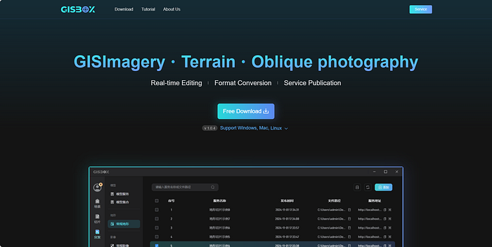
GISBox is a geographic information system toolbox that combines efficiency, flexibility and ease of use. It is designed to meet the current industry’s needs for efficient data processing and convenient service publishing. It can perform real-time editing, format conversion and service publishing of GIS images, terrains, and oblique photography.
GISBox also supports a variety of mainstream publishing protocols, including 3DTiles, Terrain and WMTS (Web Map Tile Service), etc., and it is free of charge. After publishing, the service address will be automatically generated for direct use in various visualization platforms. Its collection service publishing function allows users to combine multiple services together for unified publishing and management, simplifies the management process of multiple data types, and greatly improves the efficiency of data management and display.

Summary
The above five free GIS map tool software have their own characteristics and are suitable for different application scenarios. Whether it is the open source and plug-in system of QGIS 3, the data processing and analysis functions of GRASS GIS, or the remote sensing analysis capabilities of Whitebox GAT, as well as the efficient data processing and convenient service publishing functions of GISBox, these software provide strong support and help for GIS users. Choosing a GIS tool that suits you will greatly improve the efficiency and quality of map production and data analysis.