5 Popular Tools for Converting TIF to Terrain Format
With the growing need for accurate geospatial data in fields like urban planning, environmental research, and engineering projects, converting TIF (GeoTIFF) imagery to terrain formats has become crucial. This conversion allows for enhanced 3D visualization and analysis of elevation data. Below, we explore the top 5 software tools for converting TIF to terrain format, highlighting their unique features and advantages.
- GISBox

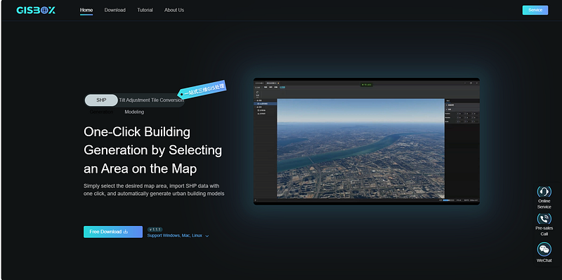
GISBox stands out as a comprehensive tool for handling GIS data, including image, terrain, and oblique photography. It supports a wide range of format conversions, including TIF to terrain, making it an excellent choice for both beginners and experienced GIS users.
Features:
Supports batch conversion of TIF files to terrain format with high accuracy.
Offers real-time editing and visualization, allowing users to preview and make adjustments on the fly.
Provides free service publishing for terrain data, with support for 3DTiles and WMTS protocols.
Pros:
User-friendly interface with robust real-time editing features.
No additional fees for publishing terrain services.
Ideal for various GIS-related projects, including 3D visualization.
2. Global Mapper

Global Mapper is a powerful GIS application known for its versatility in handling a wide array of geospatial data formats. Its terrain processing tools allow users to convert TIF imagery into terrain models with ease.
Features:
Comprehensive support for a variety of geospatial data types.
Built-in analysis tools for evaluating terrain data.
Easy-to-use conversion processes with customization options for output settings.
Pros:
Flexible and supports numerous formats.
Strong community and reliable customer support.
Reasonable learning curve, making it accessible to most users.
3. ArcGIS Pro

ArcGIS Pro, developed by Esri, is a leading GIS platform recognized for its robust capabilities in geospatial analysis and data visualization. Its advanced tools allow for seamless TIF to terrain conversion as part of its broader range of GIS functions.
Features:
High-quality conversion with detailed output controls.
Integration with other Esri tools for expanded GIS workflows.
Advanced visualization options to ensure high-resolution terrain data displays.
Pros:
Professional-grade tool with extensive documentation and learning resources.
Integration with a comprehensive GIS suite.
Strong analytical tools for post-conversion terrain analysis.
4. QGIS

QGIS is an open-source GIS platform that offers a variety of plugins for data conversion, including TIF to terrain. Its modular approach allows users to customize their workflow according to their needs.
Features:
A robust plugin ecosystem for enhanced functionality.
Capability to process and convert TIF files using built-in tools or extensions.
Flexibility in output customization and integration with other open-source tools.
Pros:
Completely free and supported by an active developer community.
Highly customizable with numerous plugins.
Regular updates and improvements.
5. iTwin Capture Modeler

iTwin Capture Modeler is known for its 3D modeling and reality capture capabilities. It efficiently handles geospatial data conversion, including TIF to terrain, and is ideal for large-scale infrastructure projects that demand precise terrain data.
Features:
Advanced processing algorithms for high-fidelity terrain conversion.
Streamlined user interface with intuitive tools for 3D modeling and analysis.
Capability to manage and convert massive datasets seamlessly.
Pros:
Superior output quality for professional applications.
Ideal for engineering and large-scale project use.
Integrated 3D visualization tools for pre- and post-conversion assessment.
Conclusion
Each of these tools — GISBox, Global Mapper, ArcGIS Pro, QGIS, and iTwin Capture Modeler — offers unique strengths in converting TIF files to terrain format. GISBox and QGIS are excellent choices for those seeking cost-effective or free solutions with strong community support. Global Mapper and ArcGIS Pro provide comprehensive features for professional users, while iTwin Capture Modeler excels in high-precision applications for infrastructure and engineering projects. Choosing the right tool depends on your specific needs, project scale, and budget considerations.